
Volcán Fuego and Volcán Acetenango
We first saw these two from our hotel in Antigua. Fuego is quite active - we could hear it rumbling and see the puffs of smoke. We spent two nights camped on…
39 images

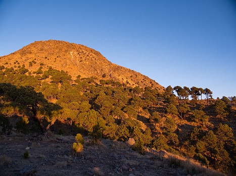
Volcán Zunil
We camped below the summit of Zunil, an old extinct volcano. It was pretty cloudy that evening, but beautifully clear in the morning with views of volcanoes to…
11 images

Volcán Santa Maria
We had a day hike from Quetzaltenango to the summit of Santa Maria, an extinct volcano. The nearby Santiaguito volcano which is active was obscured by clouds…
8 images
Volcán Tajamulco
We camped below the summit of Tajamulco - the highest peak in Central America. It was cloudy when we visited the summit. But once again the sunrise was clear…
16 images

Volcán San Pedro
A day hike up San Pedro giving us views of Lake Atitlan and its surrounding volcanoes. The lower slopes have coffee fields. The forest near the summit filled…
17 images

Volcán Pacaya
A cloudy day for our visit. This volcano is farily quiet now, but had its last major eruption in 2010. The lava fields in the foreground are from the last 10…
5 images

Antigua Guatemala
This was our home base at the start and end of the trip. The views are dominated by three volcanoes - Auga, Acetanango and Fuego. A capitol of Guatemala until…
42 images

Quetzeltenango
This is the second largest city in Guatemala. We were here several nights for our visits to Zunil, Santa Maria and Tajamulco.
13 images

San Pedro de la Laguna
A village on the shore of Lake Atitlan. We had two nights in a lovely lakeside hotel. On our last morning Pepian took John and me for a visit to a women's…
17 images
